Maigue River Bank Walks: Routes & Tips
Four accessible riverside walks from easy to moderate difficulty. Best seasons, what to bring, parking locations, and wildlife you might spot along the way.

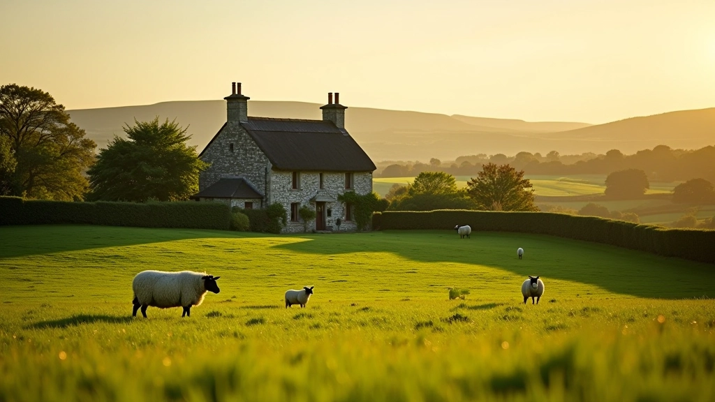
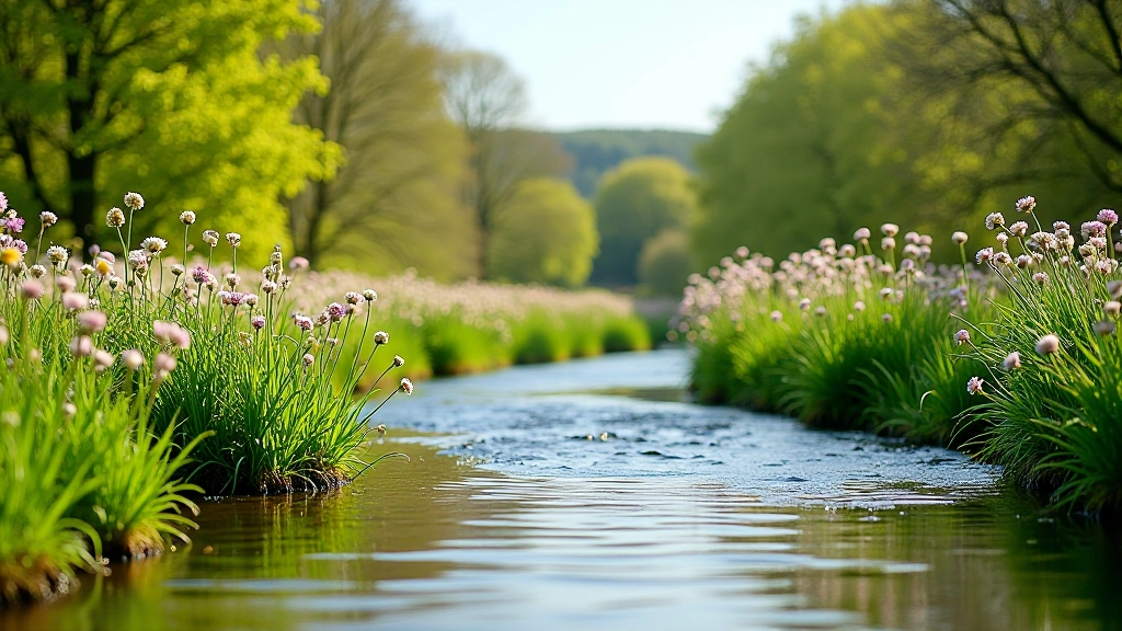
Why the Maigue River Matters
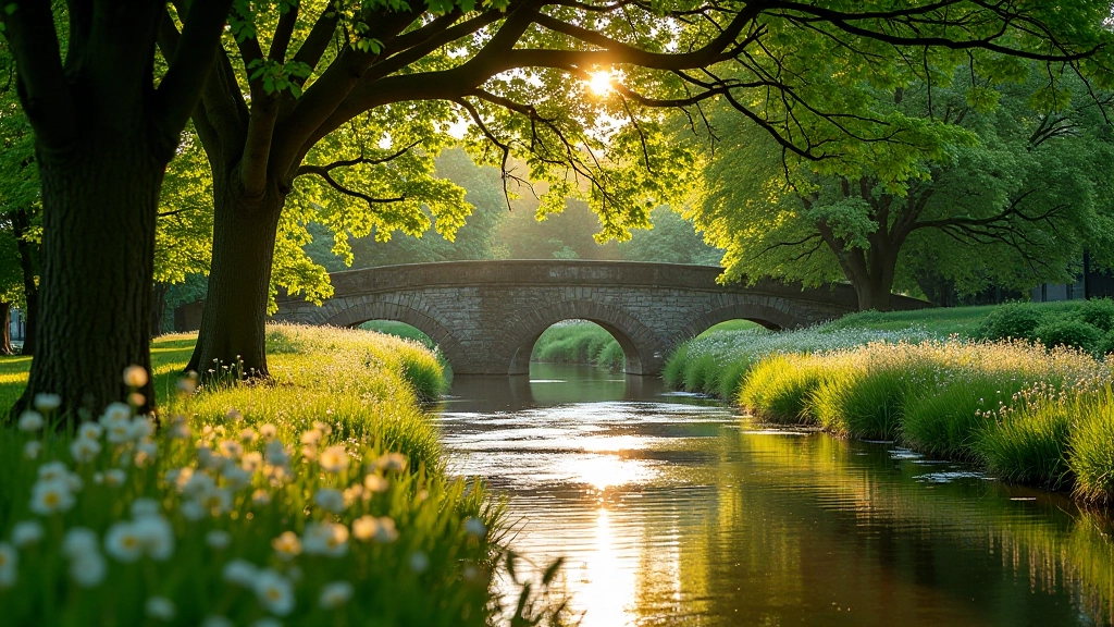
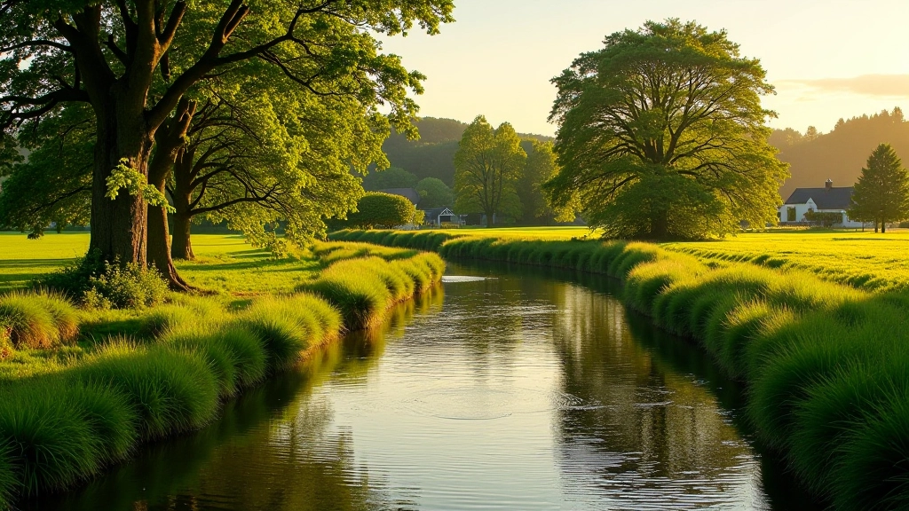
The Maigue flows through some of Limerick's most beautiful countryside. It's not just a river — it's part of the region's character. Walking its banks means you're experiencing the landscape that shaped Adare and the surrounding villages for centuries.
We've mapped out four different routes here. You don't need special gear or experience. What you need is comfortable shoes, some time, and curiosity about what you'll find along the way.
The Four Main Routes
Each walk offers something different. Pick based on how much time you have and your comfort level.
Route One: Adare to the Mill (1.2km, 25 minutes)
This is the easiest option. Starts at the main car park in Adare village and follows the river south toward the old mill. The path is well-maintained and relatively flat. You'll pass under the stone bridge and can spot herons fishing in the quieter pools. Parking's easy — the main village car park is free and gets busy only on weekends.
Best for: Families with young kids, first-time walkers, anyone wanting a quick 30-minute outing.
Route Two: Mill Loop (3km, 50 minutes)
Extends the first route. You'll reach the mill building itself — it's not actively milling anymore but the structure's worth seeing. From there, the path winds back through a small wooded section. The terrain gets a bit rougher here. Wear proper walking shoes. You'll probably see kingfishers in the trees and maybe even a water vole if you're quiet and patient.
Best for: People with basic fitness, photographers, wildlife watchers.
Route Three: Riverside Ridge (4.5km, 75 minutes)
This one climbs. You'll leave the river briefly and head up to the ridge that overlooks it. The views from the top are genuinely impressive — you can see across to the Galtee Mountains on clear days. The descent back down to the river is steep in places but manageable. Bring water. The path isn't always obvious so a map helps.
Best for: Moderate fitness level, people who enjoy elevation changes, landscape photographers.
Route Four: Extended Valley Walk (6km, 100 minutes)
The full experience. You'll combine sections of all the other routes plus venture into the less-walked northern valley section. This route takes real commitment but the payoff is genuine. You'll see the river from multiple perspectives, pass through genuine wilderness patches, and encounter far fewer people. It's moderately challenging terrain with some muddy sections depending on recent rainfall.
Best for: Regular walkers, people seeking solitude, serious nature enthusiasts.
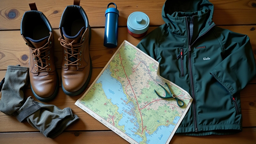
What to Actually Bring
Forget those gear lists that make walking sound like mountaineering. You don't need much. But you do need the right things.
Footwear
Proper walking shoes matter more than anything else. Not trainers — actual walking shoes with grip. The river paths get slippery, especially near the water. We've seen people try it in regular shoes. It doesn't end well.
Weather Protection
Ireland's weather changes. A lightweight waterproof jacket takes up almost no space but saves your walk. Even if it doesn't rain, the wind can be cold coming off the water. Bring a layer you can add or remove.
Water and Snacks
Bring more water than you think you'll need. For routes 1-2, a 500ml bottle's fine. For routes 3-4, aim for 1-1.5 liters. A banana or chocolate bar keeps your energy up on the longer walks.
Navigation
Routes 1-2 are obvious. For routes 3-4, download a map or use an offline GPS app. The paths aren't always marked. Takes 2 minutes to set up and means you won't waste time wandering.
Best Times to Walk
Spring (March-May)
The river's high from winter rainfall but manageable. Wildflowers start appearing. Bird activity is at its peak — nesting season means you'll see kingfishers and dippers. Weather's unpredictable though. You'll need that waterproof jacket.
Summer (June-August)
Warmest and driest months. The water level drops making some sections easier to walk. Longer daylight means you can start late afternoon. Insects are active — bring bug spray if you're sensitive. Most crowded season too.
Autumn (September-November)
Our recommendation. The light's beautiful. Trees change color. Fewer people. Weather's cool but not cold. Water levels are reasonable. September-early October is ideal. By late November it gets wet and muddy.
Winter (December-February)
Stick to routes 1-2 only. The river rises significantly. Paths become slippery mud. Daylight's limited. Not impossible but it's working against you. If you go, do it midday and tell someone where you're headed.
Wildlife You Might Encounter
The Maigue isn't a nature documentary but you will see things. Here's what's actually common:
Birds
Herons are the obvious ones — they stand motionless in the shallows. Kingfishers are rarer but you'll hear them before you see them. Grey wagtails dart around the rocks. In spring you'll see ducks nesting. Bring binoculars if you're serious about bird watching.
Mammals
Rabbits are common along the banks. Water voles are present but shy — you'll spot evidence (droppings, burrows) more than the animals. Foxes exist in the area. You probably won't see them but you might find tracks.
Fish
The Maigue has brown trout. You won't catch them on a walk but you'll see evidence of them in the water. Eels are present but mostly active at night. The deeper pools hold the most fish.
Plants
Bluebells in spring are stunning. Nettles are everywhere in summer — stay on the path. Oak and ash trees dominate the wooded sections. Riverside plants like dock and sorrel are common. Nothing rare but genuinely beautiful.
Parking and Logistics
Here's what actually matters when you're planning to go:
Parking for Routes 1-2
Use Adare village main car park. It's free. Gets busy Saturday-Sunday afternoons but generally fine. Only about 100 spaces though so if you're going on a bank holiday, arrive early. Walking to the river takes 5 minutes from the car park.
Parking for Routes 3-4
You'll need a car to get to the northern trailhead. There's informal parking along the road near the ridge access point. Not official but locals use it. About 5-6 cars can fit. The GPS coordinates are 52.5631°N, 8.7822°W if you're using navigation. No facilities here — nearest toilet is back in the village.
Time and Difficulty Reality
The times we've listed are actual walking time. Add 15-20 minutes if you're taking photos or stopping to look at things — which you will. Routes 1-2 are genuinely easy. Routes 3-4 require reasonable fitness. If you haven't walked regularly in a while, start with routes 1-2.
Final Tips from Real Walkers
1
Start Early
You get the light better in morning. Plus fewer people. And if something goes wrong — twisted ankle, lost track — you've got daylight to sort it. Avoid walking alone after 4pm in winter.
2
Tell Someone Where You're Going
Seriously. A text to a friend saying "I'm doing the Riverside Ridge walk, back by 4pm" takes 10 seconds. If you don't show up, they know where to look.
3
Respect the Farmer
These paths cross private land. Keep to the marked routes. Close gates behind you. Don't pick plants or disturb animals. We're guests here.
4
Don't Go Near the Water's Edge in Flood
If the river's high and flowing fast, stay back. Water that looks slow can have currents you can't see. People have drowned in rivers that seemed calm.
5
Bring Your Phone Charged
Signal's spotty but having a charged phone matters if you need to call for help. Download offline maps too. Takes 30 seconds and could be useful.
Start Walking
The Maigue River walks aren't exotic. They're not challenging in a way that requires special training. What they are is real. You're moving through actual landscape. You're seeing things that are genuinely there. You're getting fresh air and moving your body. That's it. That's the whole point.
Pick a route that matches your time and fitness. Bring proper shoes. Don't overcomplicate it. The river's been here for centuries. It'll still be there when you arrive.
Important Notice
This guide is informational only. Walking involves physical activity and potential risks including uneven terrain, water hazards, and weather changes. You're responsible for assessing your own fitness and abilities before undertaking any walk. These routes cross private land — respect access agreements and local farmer requests. Weather conditions and path conditions change. Check current conditions before you go. If you're new to walking or have health concerns, consult appropriate professionals. The routes and details described here are based on conditions as of June 2026 — verify current status locally.
Related Reading